
MBS Oil Applications
Highlights
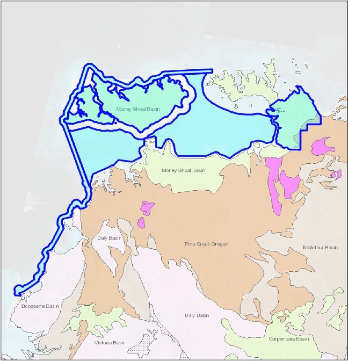
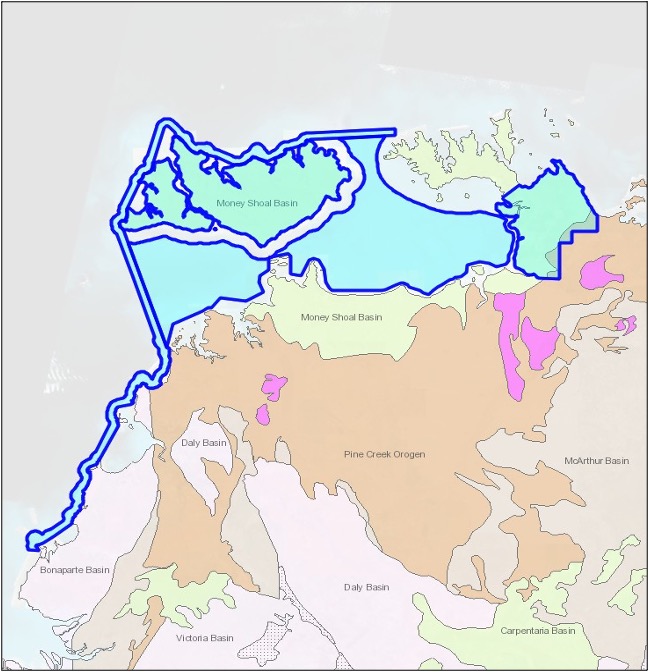
EPA214, EPA215, EPA223 and NTC/P11 are the remaining 4 of the 5 permits under application for the Money Shoal Basin.
There has been no exploration of these areas but it is thought that any oil and gas bearing strata identified on EPA216 are likely to extend into these areas.
Highlights
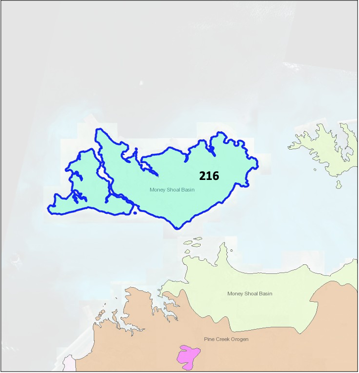
EP216 covers part of the Money Shoal Basin laid down during the Eocene to Proterozoic period. It is one of a group of 5 permits currently under application to MBS Oil.
Gravimetric survey of EP216 and its surrounds suggest thickening sediments beneath the island. Later stratigraphic drilling on Bathurst Island indicated the presence of oil and gas flows and the existence of potential source rocks for oil and gas.
EP216 is administered by a progressive Aboriginal Land Council willing to work with AGO to pursue exploration.
AGO has plans to complete the negotiations process during 2021 and progress to exploration by early dry season in 2022.

MBS Oil Application – EPA 216
MBS Oil P/L acreage
- Jurassic to Cenozoic Money Shoals Basin is mainly offshore
- Overlies Arafura Basin and McArthur Basin sediments which are prospective
- Thin section onshore
- Late Cretaceous Bathurst Island group has petroleum potential onshore
- 7 nearshore and onshore EPAs
- Onshore: EPA 223, EPA 224, EPA 216 (Tiwi Islands)
- Nearshore: NTC/P11, EPA 214, EPA 215, EPA 303
- Recommended reading: NTGS 2014 report: Money Shoals (page 203); Arafura (page 195); McArthur (page 13)
Arafura Oil P/L, Bonaparte Oil P/L and MBS Oil P/L Geology
Arafura Oil P/L, Bonaparte Oil P/L and MBS Oil P/L: Gravity
